

Stage town on the Camino
Santo Estevo de Lires
A Coruña, Galicia, Spain
- places to stay
- 12
- Caminos
- 2
- Elevation
- 25 m
Lires sits exactly halfway between the two capes, 13.5 kilometers past Fisterra and 14.3 before Muxía, at the mouth of the Río Castro. A village of fewer than 150 people, with a beach and some of the first country houses for guests in Spain. Here you get the stamp without which the pilgrim hostel in Muxía won't take you.
How long to stay?
An afternoon is enough, but stay the night. Many walk from Fisterra to Muxía in one go. Lires is the reason not to: the village lies exactly halfway, by the water, and the afternoon belongs to the beach on the ría. There is little to visit beyond the church at the village entrance, and here that is no shortcoming.
Lires in Ninja numbers
- 13.5 kilometers from Fisterra to here, and 14.3 on to Muxía. You can't halve a stage any more precisely.
- 268 meters is the highest point of tomorrow's way to Muxía, at the Facho de Lourido. Today you never went above 132 meters.
- Fewer than 150 people live in Lires.
- One stamp from here is a must if you want to sleep in the pilgrim hostel in Muxía.
Arriving: down the river to the ría
After A Canosa the path follows the river downhill, on stretches with shade. Watch the waymarking here: the way is marked in both directions, because many also walk it from Muxía to Fisterra, and the arrows are easy to confuse. At the village entrance stands the church of San Estevo. Behind it you turn right at a country house and climb up into the center, to a small square with tables and a fountain by the church.
In brief: a village on the border of two municipalities
Lires belongs to the municipality of Cee. The ría in front of the village, the mouth of the Río Castro, is also the border with the municipality of Muxía. The parish church of San Estevo dates from the 17th century and stands on the remains of an older church that lay closer to the ría. Lires became known not through pilgrims but through rural tourism: the village is considered one of the pioneers in Spain, and some of the first country houses for guests, the Casa Raúl and the Casa Lourido, still welcome visitors today.
Between the capes: what to see
Two things, both a few minutes away.
- Playa de Lires: A shell-shaped beach with white sand, split in two by the mouth of the Río Castro. On the other side of the ría lies the beach of Nemiña, rich in birds. The afternoon is the best time for it, after arriving and before dinner.
- Iglesia de San Estevo: The plain 17th-century parish church at the village entrance, built in the style of the region. We couldn't find opening hours.
Food and drink
Lires is the place with supplies on this stage; along the way there is hardly anything. The local cuisine lives off the sea: fish and seafood, plus lacón con grelos, broths and filloas, the Galician pancakes. You eat in the village's pensions and country houses.
Honestly
- There is almost nothing along the way. Between Fisterra and Lires, and also afterwards until shortly before Muxía, shops and bars are missing. Carry water for the whole stage.
- The waymarking can confuse. Arrows in both directions, especially between Canosa and Lires; tomorrow there are also crossings without signs.
- No public hostel. You sleep in the private hostel or in country houses and pensions.
- Tomorrow gets stony. The climb to the Facho de Lourido is the only real mountain between the capes.
Where pilgrims sleep
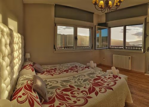
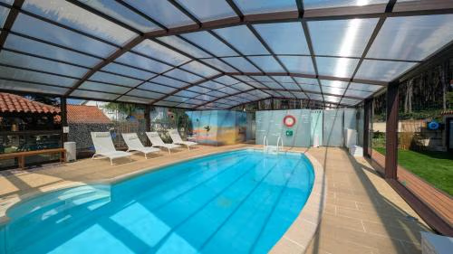
There is no public pilgrim hostel in Lires. The private Albergue As Eiras in the village offers dorm beds for €19 to €20 (as of October 2026). There are also several pensions, country houses and cabins, single rooms mostly from around €40. Booking ahead is advisable, the village is small.
Ninja tips
- Be sure to get your credencial stamped here. The pilgrim hostel in Muxía only takes you in if you were stamped in Lires. The easiest way is at your accommodation.
- Split the stage. 28 kilometers from cape to cape with two climbs is doable, but Lires is too beautiful to walk straight through.
- If you don't mind asphalt: From Hermedesuxo a shorter variant runs along the road and rejoins the way at Padrís. The official way through the forest is prettier.
- Fill up your water tomorrow in Morquintián. There is a rest area with a fountain there.
- Muxiana: You can get the certificate for the way to Muxía at the tourist office there, at the municipal hostel or at some private hostels.
Practical tips for pilgrims
- Stamp: at your accommodation in Lires, a must for the hostel in Muxía.
- Shopping: Hardly anything along the way; what you need tomorrow, bring from Fisterra or ask at your accommodation.
- Direction: The way is marked in both directions. Watch for the arrows in your direction.
Onward: over the Facho de Lourido to Muxía
To Muxía it is 14.3 kilometers with 440 meters of ascent and 459 meters of descent on the Camiño a Fisterra-Muxía. Via Baosilveiro and Frixe you go to Morquintián and then on a stony path up to the Facho de Lourido, at 268 meters the highest point. After that the way drops towards Muxía; to the Santuario da Virxe da Barca it is another 900 meters. Yellow arrows on asphalt, red ones on the tracks. Walkers of the Camino dos Faros also come through this area.
What awaits you tomorrow
Muxía, the village on the rocky point where, according to legend, the Mother of God came ashore in a stone boat to comfort James. The stones still lie on the shore in front of the Santuario da Virxe da Barca.
Deep dive: The village in the middle
A short read, in case you want to learn more about Lires. About three minutes' reading.
Between two ends
The Camino in Galicia has two ends by the sea. One is Fisterra with its cape, long thought to be the end of the world. The other is Muxía with its church on the rocks. Between the two lies a day on foot, and exactly in the middle of that day lies Lires. Anyone walking from one end to the other comes through here, whether they want to or not.
A ría as a border
In front of the village the Río Castro flows into the sea and forms a small ría. It is a natural border: on this side lies the municipality of Cee, to which Lires belongs, on the far side the municipality of Muxía. The beach in front of the village is shaped like a shell, and the river mouth divides it into two halves. Opposite lies the beach of Nemiña, where many birds rest.
A church that moved
The parish church of San Estevo dates from the seventeenth century. It does not stand where the village's first church stood. The older one lay closer to the ría, and the new one was built on its remains. Today it greets you at the village entrance, plain and made from the stone of the region.
A village that received guests before the pilgrims came
Lires is considered one of the places where rural tourism began in Spain. Some of the first houses that took in guests in the countryside stand here and still do so today. When this text was written, in autumn 2026, fewer than a hundred and fifty people lived in Lires. The pilgrims who are in the village on a given evening make up a noticeable part of that.
What Lires gives you
You have already seen one end and you are walking to the second. Lires is the place in between, where nothing has to be reached. A beach, a church, an evening. And a stamp that you will need tomorrow.
Where to stay in Santo Estevo de Lires
Places to stay in Santo Estevo de Lires.
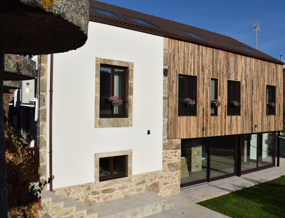 OpenReservations accepted
LiresCa
 OpenReservations accepted
Albergue As Eiras
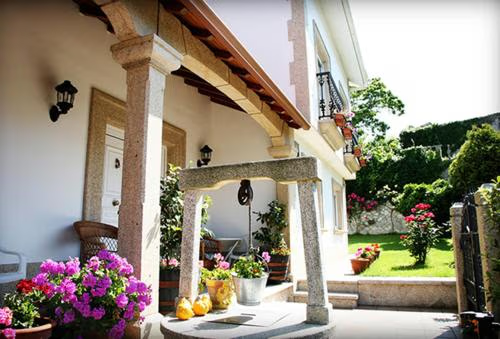 OpenReservations accepted
Casa Lourido Lires

Services in Santo Estevo de Lires
What you can find in town before the next stage.
- Café
- Fountain
- Airport
- Restaurant
Source: © OpenStreetMap contributors · updated November 2025
Town 2 of 3