

Town on the Camino
Santa Margarida da Serra
Setúbal, Portugal
- places to stay
- 5
- Camino
- 1
- Elevation
- 247 m
Santa Margarida da Serra is the resting place before the mountain: a church that was already considered dilapidated in 1513 and whose porch sheltered travellers crossing the Serra de Grândola, plus a fountain from 1843. A break is enough, then 12.2 kilometres and the steep climb to Penha de França await you on the way to Grândola.
How long to stay?
A break is enough, half an hour to an hour. You arrive after 11.4 kilometres from Roncão, so about halfway through the stage, and the harder part lies ahead of you: up into the Serra de Grândola and down again. That time is enough for the church, the fountain, the view from the viewpoint and a coffee. There's nothing more to do in the village, and that's fine.
Santa Margarida da Serra in Ninja numbers
- 260.7 kilometres lie behind you since Faro according to Camino Ninja, with 192.1 still ahead of you to Benfica do Ribatejo.
- 11.4 and 12.2 kilometres: that's the distance from Roncão to here and from here to Grândola. The village splits the stage almost exactly in the middle.
- 1513 is when the Master of the Order of Santiago found the church so damaged that Mass should not have been said in it. So it had already stood for a long time.
- 243 inhabitants was the count for the parish of Santa Margarida da Serra in 2001. Since 2013 it has belonged to the parish of Grândola e Santa Margarida da Serra.
Arriving: from the cork-oak forest into the village
From Roncão you walk on the Caminho Português Central do Sul through cork oaks, strawberry trees and pines. A pilgrim described this section in the regional newspaper Sul Informação as one of the good ones: birdsong, humming bees, nothing else. At the entrance to the village there are two cafés. People here never lived close together, but scattered on farmsteads, the montes. The village centre is correspondingly small.
In brief: a parish of the knights
After the reconquest in the first quarter of the 13th century, the area belonged to Alcácer do Sal and thus to the Order of Santiago. Place names like Alcaria, Almarjões and Açude recall the Arab population before. At the end of the 15th century the Order created the commandery of Grândola, to which Santa Margarida belonged. When Grândola received its town charter on 22 October 1544, three parishes were created, one of them Santa Margarida da Serra. People who lived here lived from large estates with farming and cattle breeding.
Rest before the mountain: what to see
The village is small, but two things tell of travellers having stopped here for centuries.
- Igreja de Santa Margarida: The church was probably built in the late 15th century, and it owes its present plain, austere form to a major rebuilding in the 17th century. As a pilgrim, two things are worth a look: the porch on the west side sheltered those crossing the Serra de Grândola, that is, people like you. And the pulpit is painted with the red cross of the Order of Santiago. The high altar is a Mannerist wooden retable with three altars for Santa Margarida, Santa Luzia and John the Baptist. In the restoration of 1999 to 2003 the painted wooden ceiling was replaced completely, which a University of Évora study of 2012 regretted. The church was not under heritage protection at the time. We couldn't find opening or service times.
- Chafariz: The fountain bears the year 1843 on its gable and was an important resting place for travellers between Grândola and Santiago do Cacém. We haven't found out whether the water is drinkable today.
- Viewpoint: Next to the church a flight of steps leads to a miradouro with a view over the village and the Serra that you are about to cross.
Honestly
- No pilgrim bed. There is no pilgrim hostel in Santa Margarida da Serra. The next stage town is Grândola, 12.2 kilometres further on.
- Sundays can be dry. The pilgrim from Sul Informação found both cafés at the village entrance closed on a Sunday. Take enough water and food with you if you walk at the weekend.
- The hard part is still to come. The regional pilgrim guide rates the stage from Roncão to Grândola 4 out of 5, with 471 metres of ascent and 635 metres of descent. A large part of that lies beyond Santa Margarida.
- The waymarking isn't clear-cut. Beyond the village the way partly follows the long-distance path GR11. Walkers reported that Jakobs arrows and GPS track pointed in different directions at a fork.
Ninja tips
- Have lunch here. The regional pilgrim guide mentions a café in the village where you can eat at midday. After that nothing comes until Grândola.
- Keep the track ready. Because arrows and GPS don't always agree beyond the village, the Ninja map helps you stay on the Camino if in doubt.
- Look at the water tank at the edge of the village. A float, a string and a board show the fill level. You can't measure a water level more simply.
Onward: over the Serra to Grândola
Beyond Santa Margarida the way becomes a mountain path. You walk through dense cork-oak forest up to the Ermida de Nossa Senhora da Penha de França and have a view of Grândola from above. The ascent and descent are no walk in the park. After that it goes down into the valley, over a footbridge across the expressway and into the town. After 12.2 kilometres you stand in Grândola. The way in the Alentejo is looked after by Turismo do Alentejo e Ribatejo.
Deep dive: A roof for those who have to cross the mountain
A short read, in case you want to learn more about Santa Margarida da Serra. About 2 minutes' reading.
A church older than its records
When you stand in front of the church of Santa Margarida, you are standing in front of a building whose beginning nobody wrote down. In 1513 Dom Jorge, the Master of the Order of Santiago, came on a visitation and found a chapel so dilapidated that Mass should really not have been celebrated in it. Anything that decays like that must have stood for many years. Researchers therefore suspect the late fifteenth century. When Grândola received its town charter in 1544, the chapel became a parish church.
Older than the church
The area has been inhabited far longer still. Near the village stands a menhir, probably still in its original place, and on the edge of the old parish lie graves of the megalithic culture. About five kilometres away, a Roman dam, the Pego da Moura, holds back the water. Whom it once supplied, nobody knows. Then came the Arabs, whose words remain in the field names, and in the thirteenth century the knights of the Order of Santiago.
A place for passers-through
The people of Santa Margarida lived scattered on their farmsteads. The village itself was always also a place for those who were only passing through. The church porch gave them a roof before they climbed into the Serra, and in 1843 the fountain was added, where people rested between Grândola and Santiago do Cacém. Only the twentieth century brought electricity, telephone and running water.
What Santa Margarida gives you to take along
You are not the first to pause briefly here before the mountain. Generations of travellers have drunk at this spot, stood under the porch roof and then taken the climb. Do as they did: gather your strength, look at the red cross on the pulpit and then go up into the cork oaks.
Where to stay in Santa Margarida da Serra
Places to stay in Santa Margarida da Serra.
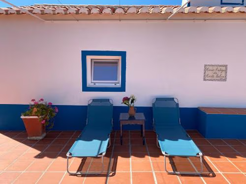 OpenReservations accepted
Casa Antiga da Corte Salva
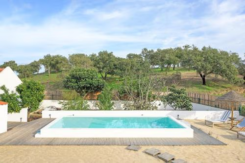 OpenReservations accepted
Monte Da Venda De Baixo - Grândola
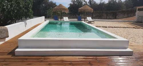 OpenReservations accepted
Monte da Venda de Baixo
KitchenCooktopsMicrowaveAnd more

Town 14 of 24