

Town on the Camino
Porto Covo
Portugal
- places to stay
- 14
- Caminos
- 2
- Elevation
- 23 m
In Porto Covo you stand beside the Atlantic for the first time, after 94.7 kilometres of Alentejo. The village was laid out in the late 18th century on the drawing board of a merchant who had grown rich in Lisbon; in 1780 it had four houses. Out in front lies the Ilha do Pessegueiro with its fortress. An afternoon is enough, but do give it the afternoon.
How long to stay?
An afternoon is enough, but don't let it be taken from you. Porto Covo is small: one square, one church, a fishing harbour and a coast of rocky coves. Without a rucksack you can see it all in a few hours. The real reason to stay lies elsewhere. After days inland, this is where you see the sea for the first time, and there should still be daylight left for that. If you come in summer, you can also take a boat out to the Ilha do Pessegueiro, and then it becomes a full afternoon.
Porto Covo in Ninja numbers
- 94.7 kilometres is what you have walked since Castro Verde, according to Camino Ninja, with 40.8 still to go to Santiago do Cacém. Well over two thirds done, and the next kilometres belong to the sea.
- 4 houses is what Porto Covo counted in 1780. In the 2011 census, 1,038 people lived here.
- Around a hundred years is how long the fortress at Pessegueiro took to build, from 1588 to the end of the 17th century. The harbour it was meant for was never finished.
- €15 was the price in 2024 of the return boat trip to the Ilha do Pessegueiro (as of July 2024). It only runs in summer.
- 29 August is the day of the patron saint, Nossa Senhora da Soledade, with a procession through the village.
Arriving: at the Pessegueiro, by the sea for the first time
From Cercal do Alentejo you follow the Caminho Histórico of the Rota Vicentina, an old walking route through the hinterland, as far as the area around the Fonte do Mouro. Then the path heads for the coast. From the Ilha do Pessegueiro on, the Caminho Central Via Atlântico runs north on the Fishermen's Trail of the Rota Vicentina to Porto Covo and on to the beach at São Torpes. Up to here, every place on this Way lay inland. The Pessegueiro is the moment the Way lives up to its name.
Watch for two marking systems. The Camino is marked with a yellow, stylised shell on a blue background, and the direction is shown by yellow arrows on stones, posts or walls. This marking exists only in the south–north direction, which is yours. In places the route shares the Rota Vicentina markings; at junctions it helps to watch for their signs. Besides the Caminho Central Via Atlântico, the Fishermen's Trail also runs through Porto Covo.
In brief: a village on paper
For a long time Porto Covo was just a bay with a few fishing boats. Even in Roman times fish were salted on the Ilha do Pessegueiro, and the salting tanks are still there. In the late 16th century, when Portugal was under the Spanish crown, King Philip II wanted the island turned into a harbour, with an artificial causeway to the mainland and two fortresses. Only one of the fortresses was ever finished.
The present village owes its existence to Jacinto Fernandes Bandeira, a merchant from Viana do Castelo who had grown rich in Lisbon under the Marquês de Pombal. He had Porto Covo laid out to a plan, in the style of the Pombal era: streets at right angles and a large square in the middle. From 1796 he was allowed to call himself Lord of Porto Covo, and in 1805 he became a baron. Porto Covo has only been a municipality of its own since 31 December 1984.
A square older than the village
The heart of Porto Covo is the Largo Marquês de Pombal. It was laid out in the second half of the 18th century and has largely kept its 19th-century look. The town of Sines calls it, in its visitor guide, a place you must have seen. In the middle stands the church, with trees and a small garden all around.
What makes it special is the order of events. Elsewhere a village grows, and at some point it gets a square. Here the plan came first, drawn in Lisbon, and then came the houses. Two of Bandeira's plans are still kept in the national archive, Torre do Tombo. A plan of 1789 placed the settlement not at the bay but a little inland, by the fields. When you walk across the square, you walk through an idea from the Age of Enlightenment that only became reality decades later: in 1843 there were around 20 houses.
Between square and island: what to see
Everything is close together. You will see the square and the church in passing, and you have already walked past the fortress at Pessegueiro on the way in.
- Largo Marquês de Pombal and church: The church was built towards the end of the 18th century as part of the layout of the square, in a mixture of Baroque and Neoclassicism that was usual in the time of Queen Maria I. It is small, 14.90 metres long, with blue-and-white azulejos on the lower walls inside and a gilded altarpiece. It is dedicated to Nossa Senhora da Soledade, the patron saint of the village. For you as a pilgrim it is the quiet counterpart to the coast: a church that did not grow over centuries but belongs to a plan. We did not find opening or Mass times.
- Forte de Nossa Senhora da Queimada at Pessegueiro: The fortress on the beach opposite the island, also called Forte do Pessegueiro, was begun in 1588, first under the master builder Filippo Terzi and from 1590 under Alexandre Massay. It was only finished towards the end of the 17th century. The earthquake of 1755 damaged the chapel. From 1877 to 1942 the Guarda Fiscal, the fiscal guard, was stationed here. The star-shaped building with two bastions is open to the public, and a wooden bridge leads to the gate. On the north side is the vaulted chapel of Nossa Senhora da Queimada. The fortress and the island have been under heritage protection since 1957. You pass it on the way anyway.
- Ilha do Pessegueiro: On the island stand the remains of the second, never completed fortress, Santo Alberto, along with Roman traces and harbour works of the 18th century. In summer boats run across from the fishing harbour in Porto Covo, and the trip takes about two hours (as of July 2024). Out of season it stays a view from the shore, and that is quite something too.
- The coves: Between the rocks lie many small beaches, among them Praia Grande, Oliveirinha, Foz, Burrinho, Samoqueira and Espingardeiro. Praia Grande and Praia da Ilha are the biggest and the easiest to reach. The water quality is said to be good, but not every cove is easy to get to, and not every one has lifeguards all the time. After a day on the Fishermen's Trail, your feet in the Atlantic may well be the best sight in the place.
Food and drink
- Fish: Porto Covo has a small fishing harbour, and the village's restaurants put freshly grilled fish on the menu, along with stews such as cataplana.
- Supplies: It is not far to Sines on the next stage, and at São Torpes you pass a bathing beach. We could not find out reliably what you can buy there. So carry water for the day in your rucksack.
Honestly
- No pilgrim hostel. Porto Covo is a seaside resort, not a pilgrim town. You sleep in guesthouses, rooms, hostels or on the campsite.
- Sand takes effort. On the Fishermen's Trail you walk through loose sand in places. Pilgrims describe it as exhausting. Allow more time for the coastal kilometres than inland.
- The island is a summer programme. The boats to the Ilha do Pessegueiro only run in season. If you come in autumn or winter, you will only see it from the beach.
- Not every cove is made for swimming. Some small beaches are hard to reach and have no permanent lifeguards. If you want to get in the water, go to Praia Grande or Praia da Ilha.
Where pilgrims sleep
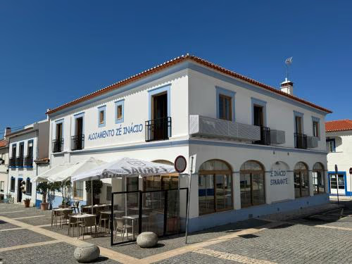
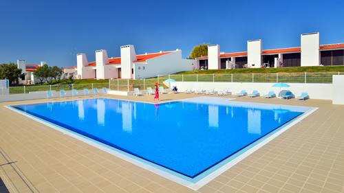
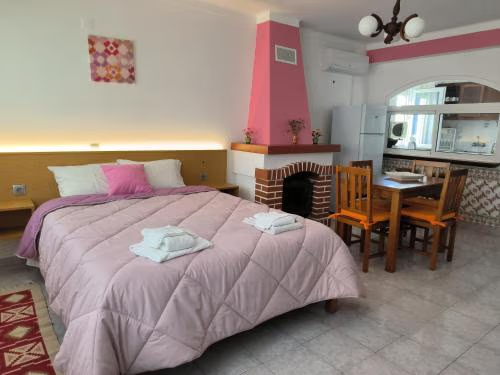
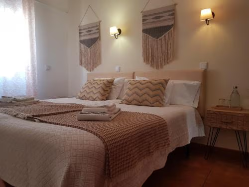
There is no pilgrim hostel in Porto Covo. Our data lists private accommodation: guesthouses and rooms in the village, holiday flats, hostels and two campsites, one of them at the Ilha do Pessegueiro. You can find a single room from about €33 (as of November 2026). In summer, above all around the Músicas do Mundo festival in July, book early.
Ninja tips
- Read both signs at junctions. The yellow shell on blue gives no direction, only the yellow arrow does. Where the Camino uses the Rota Vicentina, its signposts keep you from taking a wrong turn.
- Go into the fortress. It is open to the public and lies right opposite the island. It is your first stop at the sea, so don't make it in passing.
- Ask at the Turismo for the stamp. The information office is at Rua do Mar 2, telephone 269 959 124. We did not find out whether there is a pilgrim stamp there; it is worth a try.
- Swim where it is safe. Praia Grande lies right by the village and is one of the most accessible beaches.
- Not every beach is textile. Praia do Salto has been officially designated a naturist beach since 2002. Just so you are not surprised.
Practical tips for pilgrims
- Turismo: Posto de Informação Turística, Rua do Mar 2, telephone 269 959 124, turismo@freguesiadeportocovo.pt. We did not find opening hours.
- Festivals: At the end of August the village celebrates its patron saint with Mass, a candlelit procession and an evening programme on the Largo Marquês de Pombal. In July the first days of the Músicas do Mundo festival take place in Porto Covo, in 2026 from 17 to 19 July.
- Walking trails: The Junta de Freguesia has signposted two circular walks of its own, marked red and yellow, with an information board at the Junta. They are not part of the Camino.
Onward: along the coast to Sines
The next stage is short, at 15.7 kilometres. At first you stay on the Fishermen's Trail along the coast to the north. After 7.0 kilometres you reach the beach at São Torpes, where the Camino leaves the Fishermen's Trail. After 15.7 kilometres you are in Sines.
What awaits you tomorrow
Sines is the town of Vasco da Gama, and it greets you with harbour cranes instead of fishing boats. But behind the industry lies an old town with a castle, and above the fishing harbour a church that the navigator had rebuilt in thanks for his return from India. Until 1960 pilgrims came to it, on foot as well.
Deep dive: A village from the drawing board
A short read, in case you want to learn more about Porto Covo. About three minutes' reading.
The island that was meant to become a harbour
Before there was Porto Covo, there was the island. The Ilha do Pessegueiro lies close off the coast, and the Romans already used it. Fish were salted on the island, and archaeologists have found the tanks for it. In the late sixteenth century, when Portugal and Spain had the same king, this spot was to become a harbour. A causeway was to connect the island with the mainland, and two fortresses were to protect it. In 1588 the master builder Filippo Terzi began the fortress on the shore, and his successor Alexandre Massay started the one on the island as well in 1590. Then everything stalled. Only the fortress on the shore was finished, and not until towards the end of the seventeenth century. The harbour stayed a plan.
A merchant draws a village
In the middle of the eighteenth century Porto Covo was a bay with a few boats, and in 1780 there were four houses here. Then came Jacinto Fernandes Bandeira. He was born in 1745 in Viana do Castelo, in the far north of Portugal, and made a great fortune in Lisbon under the Marquês de Pombal. He rose in the royal board of trade and collected titles. For Porto Covo he had plans drawn up. One of them, from 1789, placed the village not at the bay but a little way inland by the fields, with straight streets and a large square in the middle. It was the formal language in which Lisbon had been rebuilt after the great earthquake.
From 1796 Bandeira was allowed to call himself Lord of Porto Covo, and in 1805 he became Baron of Porto Covo. A year later he died, unmarried, and his fortune passed to two nephews. One of them later became finance minister and president of the Bank of Lisbon, and in 1843 received the title Viscount of Porto Covo da Bandeira. The village itself grew slowly. In 1843 it had about twenty houses, and in 1940 two hundred and forty-six people lived here.
A song and a beach
Porto Covo only became famous in the twentieth century. In 1986 Rui Veloso's album appeared, opening with a song called Porto Côvo. Walking through the village humming it has almost become a cliché in Portugal. Since the nineties the village has been growing, through tourism and through the industry and the port in nearby Sines. Since 1984 it has been a municipality of its own, and the Ilha do Pessegueiro belongs to it.
What Porto Covo gives you
When this text was written, in autumn 2026, only a few pilgrims came through Porto Covo. Most people here come for the coves. For you the place is something else: the spot where the Way steps out of the interior to the sea. And a village that existed first on paper and only then in stone. Your Way, too, once began as a plan, a line on a map. Here on the square you can see how long it takes for a plan to become a place.
Where to stay in Porto Covo
Places to stay in Porto Covo.
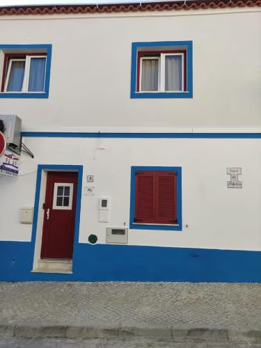 OpenReservations accepted
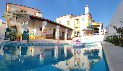
Casa de porto covo 2
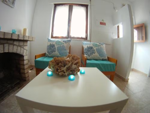 OpenReservations accepted
Ahoy Porto Covo Hostel
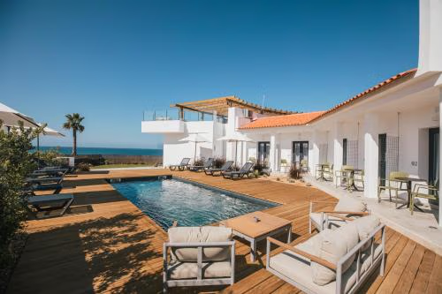 OpenReservations accepted
MUTE Hostel Porto Covo
Town 2 of 2
Continue along the Fishermen’s Trail
Porto Covo is the last popular town on the Fishermen’s Trail.